July 26, 2018
Day 39 – Birch Run to Port Huron, MI – 88 miles, 1,260 feet vertical
We’ve traveled 2,895 miles up to this point, across seven states within the US. We bed down tonight at the foot of the Blue Water Bridge that separates us from Canada at the southernmost point of Lake Huron. And tomorrow morning, at the crack of dawn, the authorities will close the bridge to all traffic so that we – the riders and staff of Across America North – can ride across as one cohesive group. And yes, it’s an official jersey day (meaning, we all wear our red, white and blue America by Bicycle jerseys).
Today was forecast to be wet – VERY wet – and I had prepared mentally for spending some time in the van while I shake this cold. But instead, we awoke to blue skies and sunshine. And so, … off we went, without our rain gear.
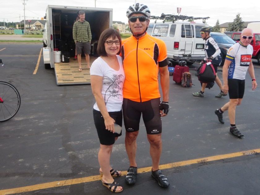
We continue to have drop-in visitors and last night our Canadian riders were met by their Canadian wives: Rick’s wife Bonnie and Doug’s wife Madeline. And tonight, Steve’s wife Jill made her third (I think) appearance.
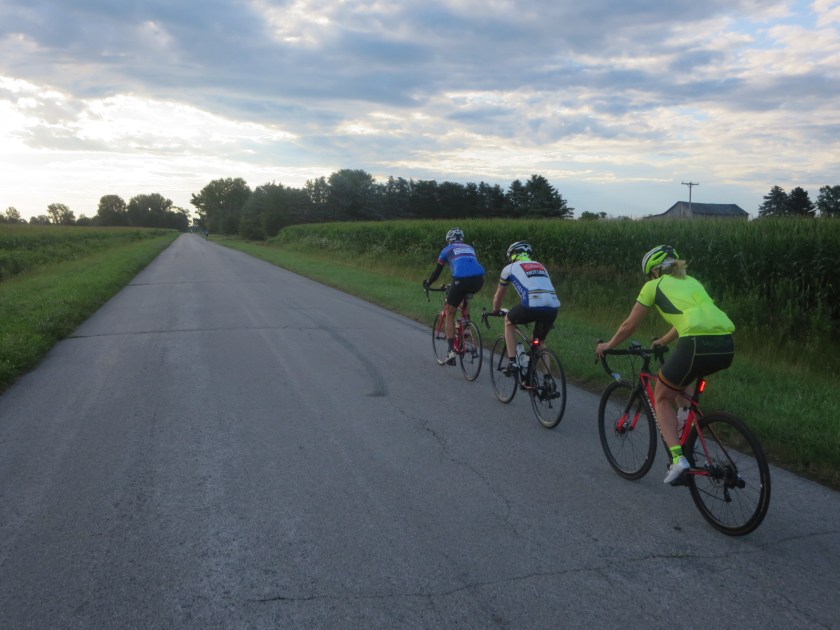
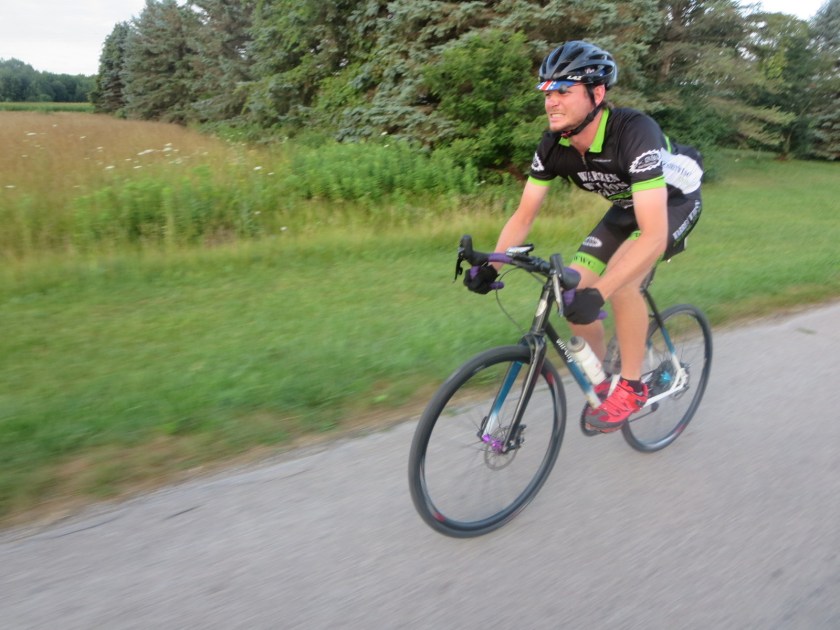
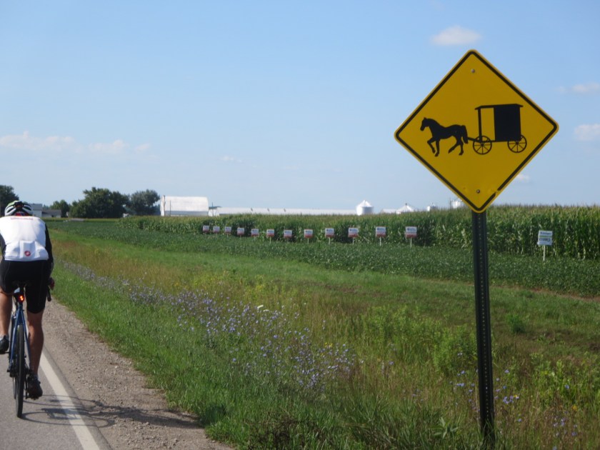
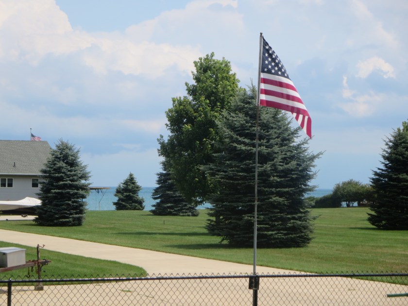
Not much to report about the ride today. It was flat (again), with a prevailing tailwind, and more sun and puffy clouds, all of which made the 88 miles seem almost routine. We did go through some sections of Amish country and encountered more than a few horse drawn buggies filled with Amish families.
Our SAG stop featured an Artesian well from which we filled our water bottles. And after zig-zagging for miles through more corn and soybean fields, we stopped for coffee and snacks at a very welcoming country cafe. We ended near the foot of the bridge in Port Huron, perfectly staged for our morning assault on our neighbor to the north.
On a personal note, I took advantage of our early arrival this afternoon to visit a nearby urgent care facility and get checked out for this persistent cold. I’m happy to report that the chest x-ray was negative and I am now appropriately medicated and on the mend. Also, I figured it would be a good place to exercise my Medicare card before crossing into Canada.
Please enjoy these photos from the day and check out the dwindling array of red dots at Where’s Jeff at jeffblye.com Only TEN riding days left!!
Thanks for following.
… Jeff


Glad you are feeling better! You are amazing, Jeff! We look forward to your nightly posts, sometimes reading them out loud. Can’t believe you have only ten days left, this is way beyond a bucket list check off, WE feel it’s an experience of a lifetime, can’t imagine how you feel!
Keep on trucking! Be safe. xoxo
Sent from my iPad
>
LikeLiked by 1 person
No, I did not know that Port Huron was the childhood home of Thomas Edison. However, Great Neck North High School was just ranked among the top high schools in the country [again] by U.S. News and World Report. Go Blazers!
Glad you’re on the mend.
LikeLiked by 1 person
Kudos to Great Neck North – they must have great teachers!! And, did you know that in the early 60s, Tom Hayden helped create Students for a Democratic Society (SDS) and co-authored the most famous student document of the period, the “Port Huron Statement”. It called for a kinder America, with power rooted not in possession or privilege, but in “love, reflectiveness, reason and creativity.”
(Credit my riding buddy Tom Gjelten for educating me on this one)
LikeLike
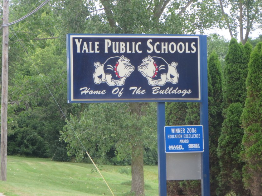
I was familiar with the Yale University Bulldogs, but not the Yale Michigan Bulldogs. Who grabbed the name first, do you suppose? (The Yale Michigan wikipedia page was no help, but did report that Yale Michigan is the unofficial Bologna capital of the world. Who knew?)
Only 10 days left?! Already? Wow! Keep pedaling! How much time do they give you all to get across the bridge?
LikeLiked by 1 person
We had to keep rolling across the bridge and we weren’t allowed to stop for pictures. We weren’t even allowed to take pictures while riding, as you can see… 😂.
LikeLike
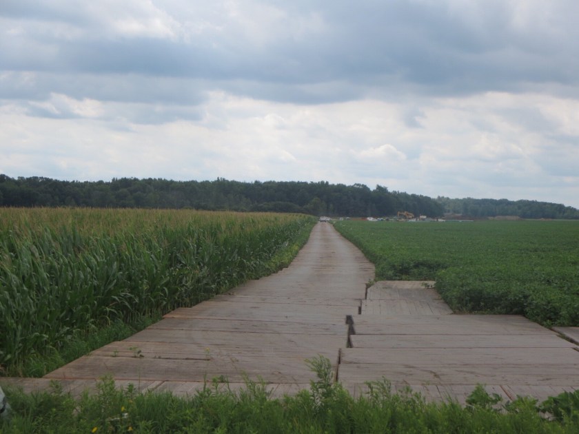
Jeff, that looks like a plank road btw the corn and the soy beans. I’ve never seen one before. The way out of Hoboken headed toward the operations center was called Patterson Plank Rd b/c it used to be exactly that…a plank road. Here is an excerpt from an academic paper on the plank road boom/bust in antebellum NY.
From 1847 to 1853 NewYorkers built more than 3,500 miles of wooden roads. Financed primarily by residents of declining rural townships, plank roads were seen as a means of linking isolated areas to the canal and railroad network. A broad range of individuals invested in the roads, suggesting that the drive for bigger markets was supported by a large cross section of the population. Considerable community spirit animated the movement, indicating that New Yorkers used the social capital of the communityto reach their entrepreneurial aspirations.
LikeLiked by 1 person
Wow, Jim, that is really amazing! When I took that shot from the road, I thought it would be a different perspective and was a little disappointed that it just looked like another road separating the crops. But you’re right: it’s a plank road. In NJ, I must have passed Patterson Plank Road a gazillion times without thinking it had historical significance. Thanks for passing that along!
LikeLike
“Oh say can you see” wonderful pride
LikeLike